Location of Tanzania in Africa – Complete Guide with Map and Facts
Understanding the location of Tanzania in Africa helps travelers, students, and investors appreciate the country’s geographic importance and cultural diversity. Tanzania is one of the largest countries in East Africa and serves as a major gateway for safaris, trade, and coastal tourism. This article explains exactly where Tanzania is located on the African continent, its neighboring countries, regions, and key geographical features that make it unique.
1. Where Is Tanzania Located in Africa?
Tanzania is located in the eastern part of Africa, along the Indian Ocean coast. It lies just south of the Equator, which gives it a tropical climate with warm temperatures year-round. The country sits between latitude 1° and 12° south and longitude 29° and 41° east.
Its location makes Tanzania a strategic hub in East Africa — connecting the coastal ports of the Indian Ocean with inland countries through modern highways, railways, and airports.
2. Neighboring Countries of Tanzania
Tanzania shares borders with eight countries, making it one of the most connected nations in Africa. The neighboring countries are:
- Kenya – to the north
- Uganda – to the northwest
- Rwanda – to the west
- Burundi – to the west
- Democratic Republic of Congo (DRC) – to the west, across Lake Tanganyika
- Zambia – to the southwest
- Malawi – to the south
- Mozambique – to the south
To the east, Tanzania faces the vast Indian Ocean, giving it access to major maritime trade routes.
3. Tanzania’s Position in East Africa
Geographically, Tanzania sits at the heart of East Africa. It forms part of the East African Community (EAC), which includes Kenya, Uganda, Rwanda, Burundi, South Sudan, and the Democratic Republic of Congo. Its central location allows easy access to landlocked neighbors such as Rwanda, Burundi, and Zambia through ports like Dar es Salaam.
Because of this, Tanzania is often described as the “gateway between the coast and the interior of Africa.”
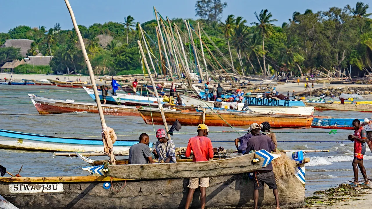
4. Tanzania’s Coastal and Inland Geography
Tanzania’s landscape varies from coastal plains to highlands and mountains. Along the Indian Ocean coast are the beautiful beaches of Zanzibar, Pemba, and Mafia islands. Inland, the country rises into the Eastern Arc Mountains and the volcanic peaks of Mount Kilimanjaro — Africa’s highest mountain at 5,895 meters.
The western region is dominated by the Great Rift Valley and major lakes such as:
- Lake Victoria – the largest lake in Africa, shared with Kenya and Uganda
- Lake Tanganyika – one of the world’s deepest lakes, shared with DRC, Burundi, and Zambia
- Lake Nyasa (Lake Malawi) – located in the south, shared with Malawi and Mozambique
5. Major Cities in Relation to Tanzania’s Location
The main cities that define Tanzania’s geographic and economic zones include:
- Dar es Salaam – the coastal economic capital and main seaport
- Dodoma – the central city and official political capital of Tanzania
- Arusha – located in the north, known as the safari and diplomatic hub
- Mwanza – situated on the shores of Lake Victoria in the northwest
- Mbeya – in the southern highlands, close to Zambia and Malawi borders
These cities reflect how Tanzania’s geography supports trade, tourism, and administration across the country.
6. Map of Tanzania in Africa
On the African map, Tanzania appears along the southeastern coast, facing the Indian Ocean and bordered by multiple countries inland. Its position places it between Kenya and Mozambique, with easy access to islands like Zanzibar.
If you look at the map of Africa, Tanzania lies below Kenya and to the right of the Democratic Republic of Congo, directly across from Madagascar in the Indian Ocean.
7. Why Tanzania’s Location Is Important
Tanzania’s location gives it strategic advantages:
- Trade Gateway: Dar es Salaam Port connects East Africa to Asia, Europe, and the Middle East.
- Tourism Access: Easy travel routes to Serengeti, Ngorongoro, and Zanzibar attract millions of visitors annually.
- Regional Connectivity: Tanzania links southern and eastern Africa through highways and railway systems like the Central Corridor.
These advantages make Tanzania not only a geographical bridge but also an economic and cultural hub in Africa.
8. Tanzania’s Size and Area in Africa
Tanzania covers a total area of approximately 945,000 square kilometers, making it the 13th largest country in Africa. It’s larger than countries like Kenya and Uganda combined and roughly equivalent in size to Nigeria.
9. Summary – Location of Tanzania in Africa
In summary, Tanzania is located in East Africa, bordering eight countries and the Indian Ocean. It lies just south of the Equator, giving it warm tropical weather, diverse wildlife, and fertile landscapes. Its strategic position connects central and southern Africa to the ocean, making it a key player in trade, tourism, and regional development.
10. Quick Facts About Tanzania’s Location
- Continent: Africa
- Region: East Africa
- Capital City: Dodoma
- Coastal City: Dar es Salaam
- Latitude: 1°S to 12°S
- Longitude: 29°E to 41°E
- Neighboring Countries: Kenya, Uganda, Rwanda, Burundi, DRC, Zambia, Malawi, Mozambique
- Ocean: Indian Ocean (to the east)
Knowing the location of Tanzania in Africa gives a better understanding of its natural beauty, economic significance, and cultural richness. Whether you’re planning a safari, a beach vacation, or an investment trip, Tanzania’s position makes it one of Africa’s most accessible and exciting destinations.
For detailed travel information, maps, and safari packages, visit www.jaynevytours.com.