
Machame vs Umbwe Route | Kilimanjaro 2026/2027
Machame and Umbwe are established camping routes on the southern side of Mount Kilimanjaro, but their lower approaches are different. TANAPA’s current facilities map shows Machame beginning farther southwest and Umbwe beginning farther south, with both routes eventually feeding into the shared southern upper trail network around the Barranco area. The same map identifies Mweka as a separate descent corridor. Both routes ultimately enter Kilimanjaro’s 5,895-metre high-altitude environment. This 2026/2027 comparison focuses on verified route layout, camping, terrain context and planning differences without promising that either route is universally easier, safer or more successful.
What Is the Main Difference Between Machame and Umbwe?
Machame starts on Kilimanjaro’s southwest side and follows its own lower route before joining the broader southern trail network. Umbwe begins farther south and reaches the shared upper network more directly around Barranco. Both use designated camping rather than the hut system associated with Marangu. These are route-layout differences; they do not predict an individual response to altitude, weather or other mountain conditions.
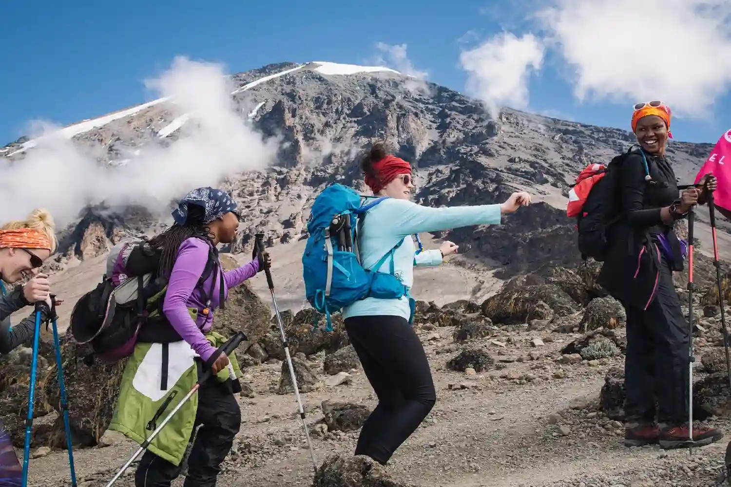
Machame vs Umbwe at a Glance
| Comparison Point | Machame Route | Umbwe Route |
|---|---|---|
| Approach side | Southwest side of Kilimanjaro | Southern side of Kilimanjaro |
| Lower route | Separate southwest ascent before reaching the upper southern network | Separate southern ascent that joins the upper network around Barranco |
| Overnight setup | Designated camping | Designated camping |
| Shared upper mountain | Both feed into the broader southern trail network before the summit area | |
| Mapped descent | Mweka is shown by TANAPA as a separate descending trail on the southern side | |
| What should not be assumed | Neither route guarantees acclimatization, summit success, quiet trails, easy conditions or a particular personal outcome | |
1. How Do the Official Route Layouts Differ?
TANAPA’s current Kilimanjaro facilities map identifies Machame and Umbwe as separate ascending trails on the southern side of the mountain. Machame begins farther west, while Umbwe starts farther south.
The map also shows both approaches feeding into the wider southern upper trail network around the Barranco area. That route geometry is the clearest objective difference between the two products.
2. Do Machame and Umbwe Both Use Campsites?
Yes. TANAPA’s current facilities map shows campsites across the Machame-Umbwe upper route network. This is different from Marangu, which uses hut facilities.
Camping changes the overnight logistics, but it does not by itself determine altitude response, weather exposure or whether a route is appropriate for a particular traveler.
3. What Is Different About the Machame Approach?
Machame begins on the southwest side and follows a separate lower trail before reaching Kilimanjaro’s broader southern network. The route then shares parts of the upper mountain with other approaches.
The exact number of mountain days and campsite sequence depends on the itinerary being sold, so this comparison does not apply one universal schedule to every Machame trek.
4. What Is Different About the Umbwe Approach?
Umbwe starts farther south and uses its own lower ascent before joining the shared upper trail network around Barranco. This gives it a different lower-mountain route geometry from Machame.
Commercial descriptions often characterize Umbwe as a more direct lower approach, but that should not be turned into a universal personal difficulty or safety prediction.
5. Where Do Machame and Umbwe Join the Upper Network?
TANAPA’s current map places the two routes on separate lower trails before they feed into the shared southern network around the Barranco area. From there, the upper itinerary can overlap with trails used by trekkers arriving from other Kilimanjaro approaches.
This is important when discussing scenery or crowd levels: a different starting gate does not mean the entire mountain itinerary remains separate.
6. Why Is Mweka Important in This Comparison?
TANAPA maps Mweka as a descending trail on Kilimanjaro’s southern side. It is therefore useful to distinguish the ascent route name from the descent network used by the itinerary.
The exact descent plan should be shown in the written itinerary rather than assumed from the ascent route name alone.
7. Why Is Altitude Relevant on Both Routes?
UNESCO identifies Kilimanjaro as Africa’s highest point at 5,895 metres. Both Machame and Umbwe therefore enter a very high-altitude mountain environment on summit itineraries.
A route name cannot guarantee acclimatization or predict an individual outcome. The exact itinerary, current conditions and appropriate professional assessment matter more than simple route labels.
8. How Do the Landscapes Compare?
The routes begin on different parts of Kilimanjaro’s southern side, so their lower-route scenery and trail alignment differ. After reaching the shared upper network, parts of the landscape experience can overlap.
UNESCO identifies five main vegetation zones on Kilimanjaro: lower slopes, montane forest, heath and moorland, alpine desert and summit. Cloud, rain, wind and visibility still change what is actually experienced on any departure.
9. Is Umbwe Automatically the Harder Route?
Umbwe’s more direct lower approach is a real route characteristic, but a single “hardest route” label can oversimplify a multi-day high-altitude trek. The physical demand of any itinerary depends on altitude, terrain, daily walking time, weather, trail conditions and individual circumstances.
For comparison purposes, it is more useful to examine the actual written itinerary than to rely on one permanent difficulty label.
10. Does Machame Guarantee Better Acclimatization?
No. A route should not be marketed as guaranteeing acclimatization or summit success. Itinerary design can change the pattern of altitude exposure, but individual response remains variable.
This page therefore avoids unsupported summit-success percentages or claims that choosing Machame automatically produces a better outcome.
11. Can Either Route Be Guaranteed to Be Quiet?
No. Visitor levels change with season, departure patterns, campsite use and park operations. Because Machame and Umbwe eventually enter shared upper trail sections, the atmosphere later in a trek can also depend on groups arriving from other approaches.
Historical route-use differences may provide background context, but they should not be presented as a guaranteed crowd forecast for 2026/2027.
12. What Should Be Confirmed for a 2026/2027 Trek?
Confirm the current TANAPA route status, exact written itinerary, planned camps, descent plan, applicable park charges, guide and crew arrangements, transport, included equipment or services, and the booking terms that apply to the selected dates.
The Product schema on this page contains an aggregate USD 1,250–2,750 range for two offers, but it does not provide a clear route-by-route visible price. Final Machame or Umbwe pricing should therefore come from a current written quotation rather than from this comparison page alone.
Which Route Information Should You Read Next?
For route-specific detail, see the Machame Route page and Umbwe Route page. For wider planning, compare Kilimanjaro climbing packages, read the Mount Kilimanjaro overview, or browse Jaynevy Tours articles and guides.
Frequently Asked Questions About Machame vs Umbwe
Where do the Machame and Umbwe routes start?
Both start on Kilimanjaro’s southern side, but Machame begins farther southwest while Umbwe begins farther south. TANAPA maps them as separate ascending trails.
Does a route name determine acclimatization safety?
No. Individual response to altitude varies, and the complete itinerary and current conditions matter more than the route name alone.
Where do Machame and Umbwe join the higher trail network?
TANAPA’s current map shows both southern approaches feeding into the shared upper trail system around the Barranco area.
Can either route be described as suitable for beginners?
Neither route should be treated as universally suitable for beginners. Both are multi-day high-altitude mountain routes, so suitability cannot be decided from a route label alone.